PLACES IN ALABAMA
|
DeKalb County was established from land that was ceded
to the federal government by the Cherokee Nation in 1836
|
|
|
USGenWeb site Big Wills Valley: Click here to see Big Wills Valley on a map on the Alabama Hometown Locater website; click here to see pictures, map and a description on the Traveling Luck website Collinsville is part of the Gadsden Metropolitan Statistical Area although it is located in DeKalb and Cherokee Counties |
|
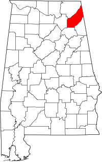 DeKalb
County: Image from Wikimedia Commons DeKalb
County: Image from Wikimedia Commons |
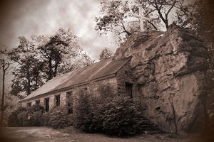 Church in Mentone in DeKalb, Wikimedia Commons
 |
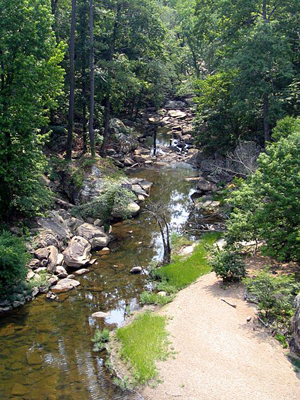
| Photo of Noccalula Falls Park in Gadsden from Wikimedia Commons |
 |
USGenWeb site Gadsden is the county seat of Etowah. It is located about 65 miles northeast of Birmingham. |
|
Attalla is a city in Etowah County that is part of the Gadsden Metropolitan Statistical Area. Keener is a community in Etowah County 10 miles north of Gadsden. Click here to see Keener on a map on the Alabama Hometown Locater website |
||
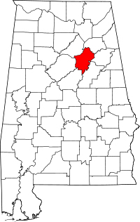
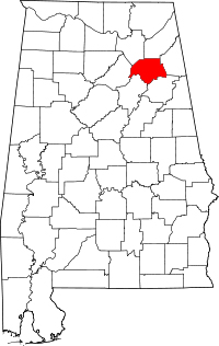 Etowah county: map from Wikimedia Commons
 |
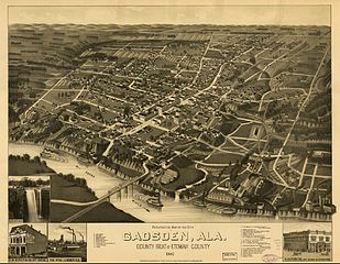 Image in the public domain
 |
|
St. Clair County was established from a portion of Shelby county in 1818
Cherokee and DeKalb counties were established from portions of St. Clair County
in 1836
USGenWeb site |
|
 St.
Clair county: map from Wikimedia Commons St.
Clair county: map from Wikimedia Commons |
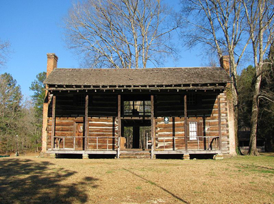
John Looney house in St. Clair, Wikimedia Commons |